|
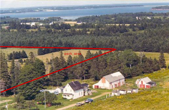
The picture below shows the relative location of the farm subdivision to St. Mary's Bay.
Approximate boundaries of the subdivison area are shown in red.
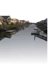
| 1978 Aerial view of farm |
|
| Park area of subdivision outlined in RED |
The following map is 'interactive', and can be zoomed,
panned or expanded to show the location of the subdivision lots relative to your interests. Please use your 'back' button
to return to the website.
The marker is only approximate, the actual subdivision property runs from the corner of Cambridge
Rd (Highway 17A) east on Oldis Rd and south on Cambridge Rd.
View Larger Map
|